
Area of expertise
Offshore & Energy
Site investigation for offshore wind farms, subsea cable routes and pipelines — plus documentation of existing offshore infrastructure. Measurable records directly usable in construction planning, environmental impact assessment and maintenance.
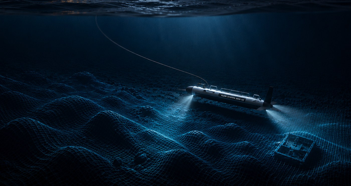
Offshore projects require detailed knowledge of the seabed before decisions are made. What's down there — sediment, rock structure, existing cables, wrecks, cultural remains? With side scan sonar, multibeam and ROV inspection we map every square metre before excavation, cable laying or foundation placement.
For existing installations we document condition, wear and change over time. Point clouds and 3D models become inputs for inspection reports, maintenance planning and re-certification.
— Services in this area
Tools we use for offshore work.
-
Side Scan Sonar
Side scan sonar surveys of sea pipelines, harbours, wrecks, channels, and seabed objects.
Read more → -
3D Scanning / Photogrammetry
Underwater photogrammetry and high-resolution 3D scanning for wrecks, bridge foundations, ports, tunnels, sea pipelines and underwater infrastructure.
Read more → -
ROV Inspections
ROV inspection of harbours, bridge foundations, pipelines, and wrecks. Remote-operated vehicle with video, ultra-high-resolution stills, underwater positioning, and real-time sonar.
Read more → -
Water Samples & Thickness Measurement
Hull thickness measurement with ultrasound, water sampling, and environmental analysis — ROV-supported inspections without drydocking.
Read more →
— Next assignment
Pre-construction survey or infrastructure inspection?
Tell us about the project, the area and the deliverables you need — we'll come back with a proposal.
Discuss the assignment