Wreck Documentation
Wreck survey and 3D documentation of historical, environmentally hazardous or recently sunk wrecks — measurable records for agencies, researchers and remediation contractors.
View the area →Measurable data, visual deliverables — ready to deploy worldwide.
Underwater photogrammetry · Digital twins · Global assignments
Baltic Sea · 2022 · Commissioned by SHK
Real data — not CGI
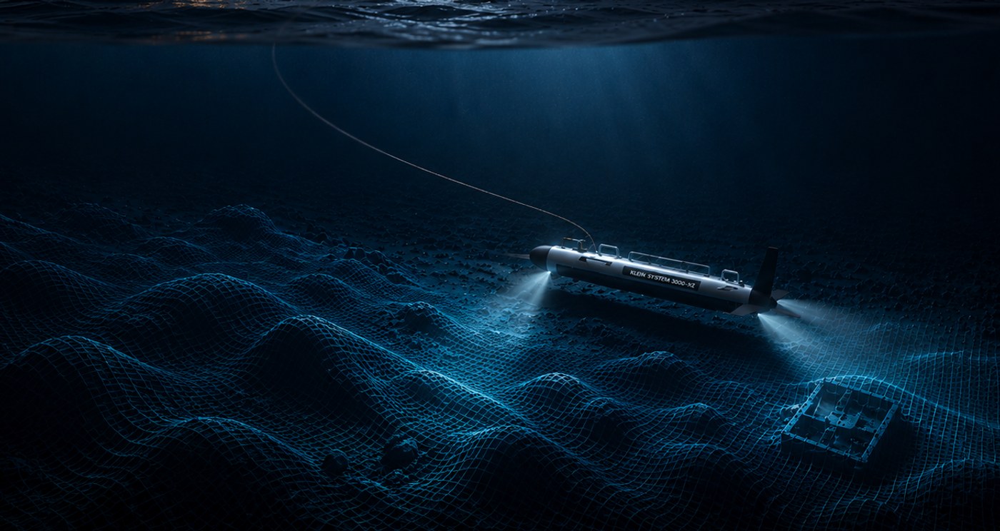
Everything we show is built from real, measurable survey data. Drag the sliders and follow the same wreck from acoustic sonar (MBES) through mesh and textured model to a finished visualization.
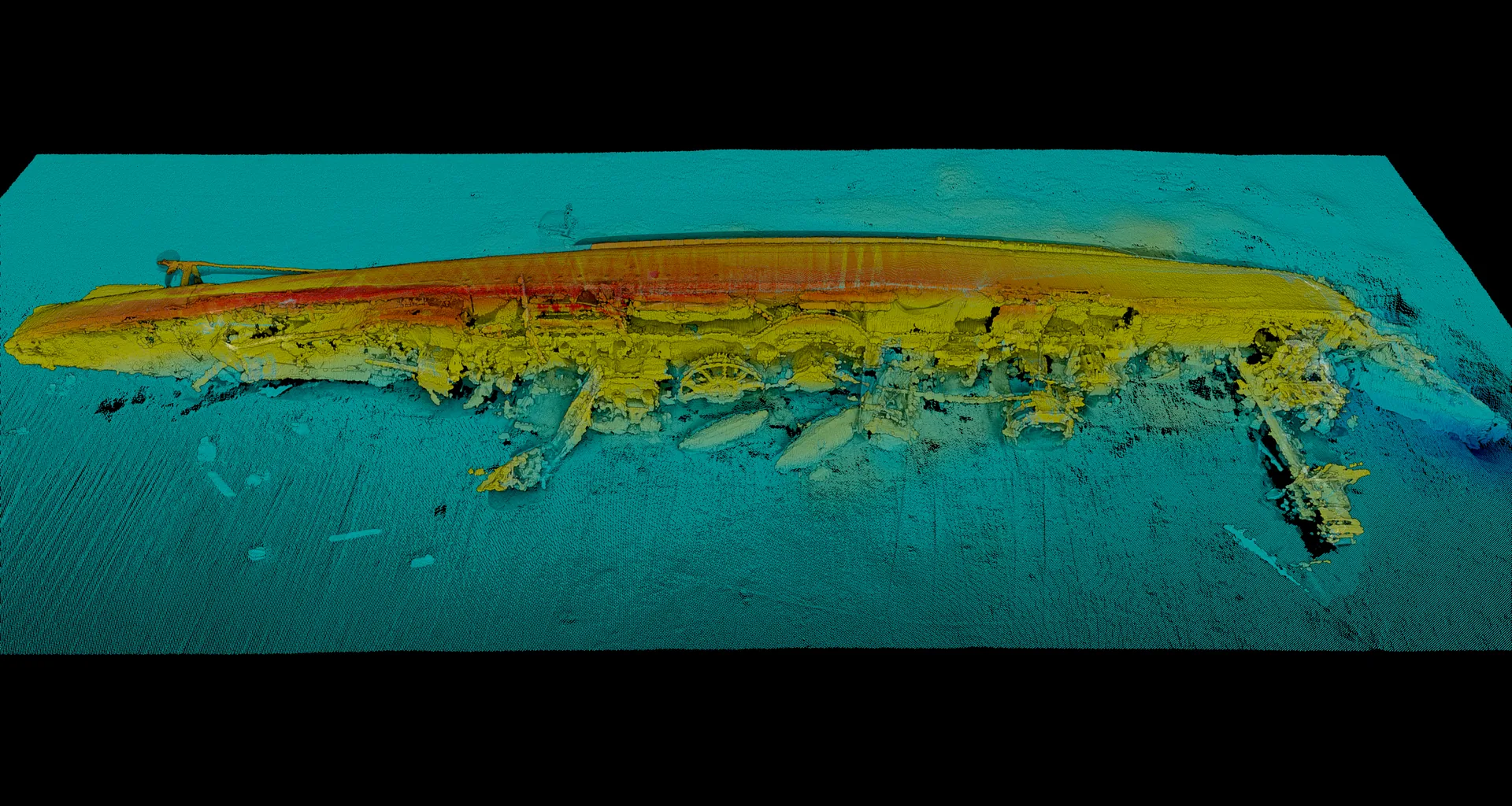
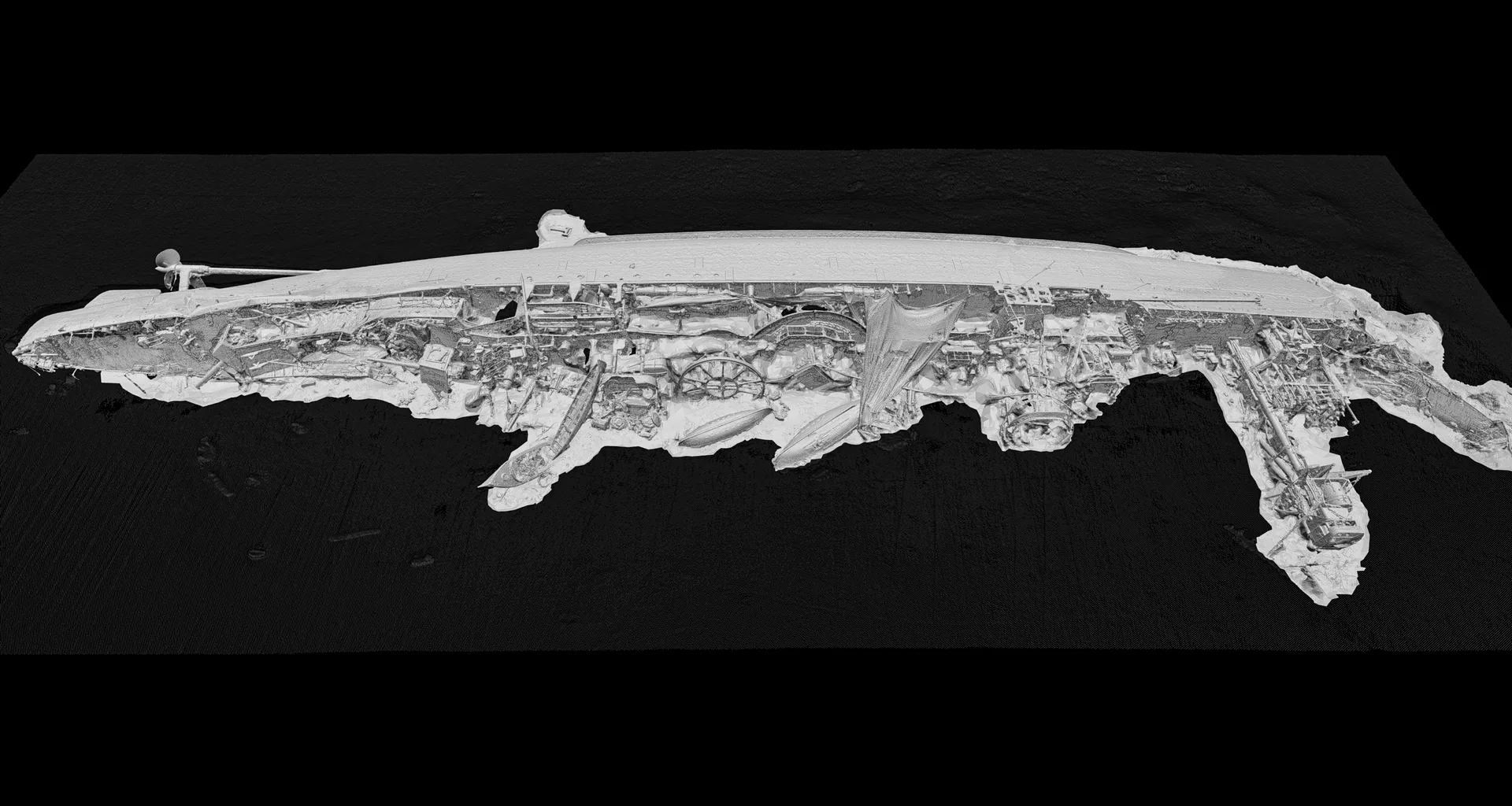
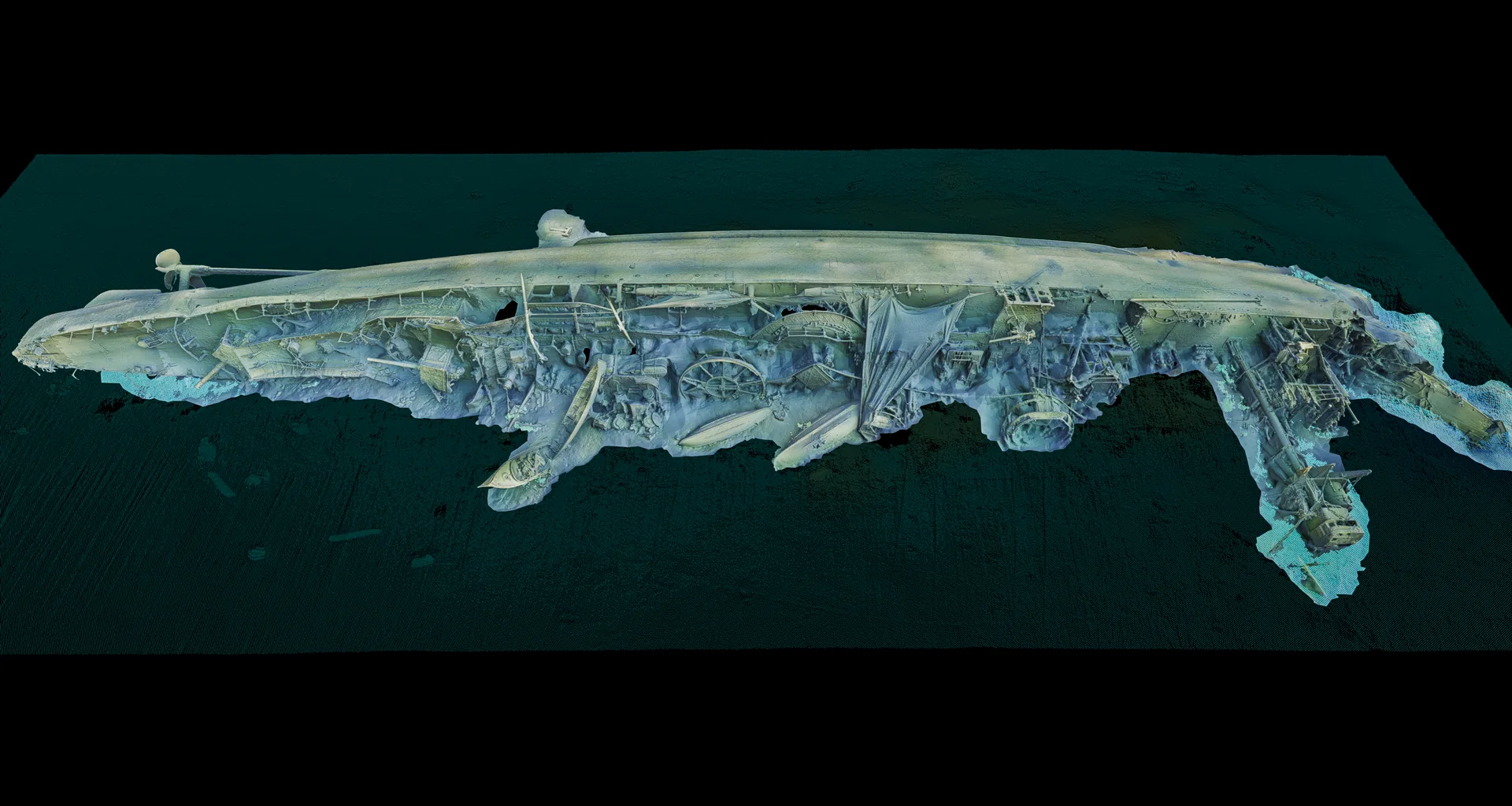
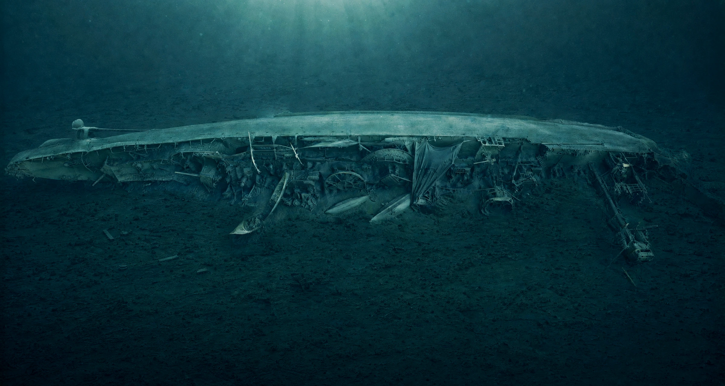
— 01 / 05
UK MOD assignment · 2025
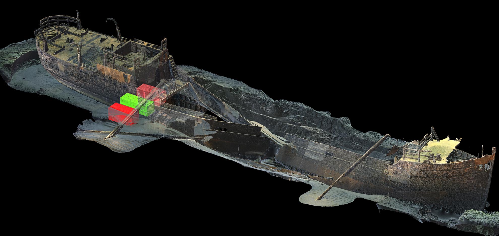
The British cruiser struck a German mine in 1918 and rests today at over 90 metres depth — a leaking war wreck and the last resting place of those who died. In 2025 Ocean Discovery, via Waves Group, built a measurable digital twin for the UK Ministry of Defence's SALMO Wreck Management Programme.
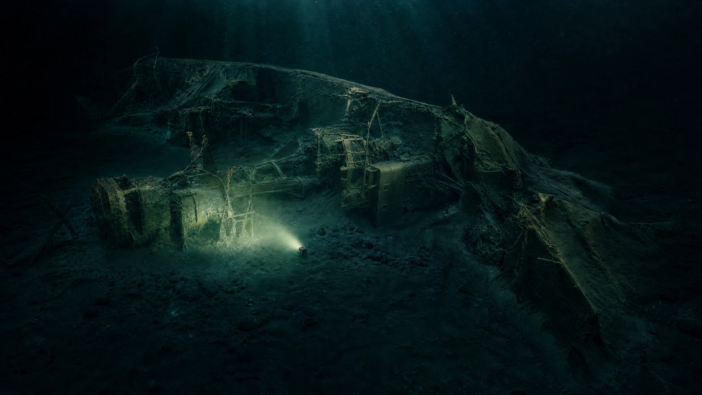
Photogrammetric documentation · 2025
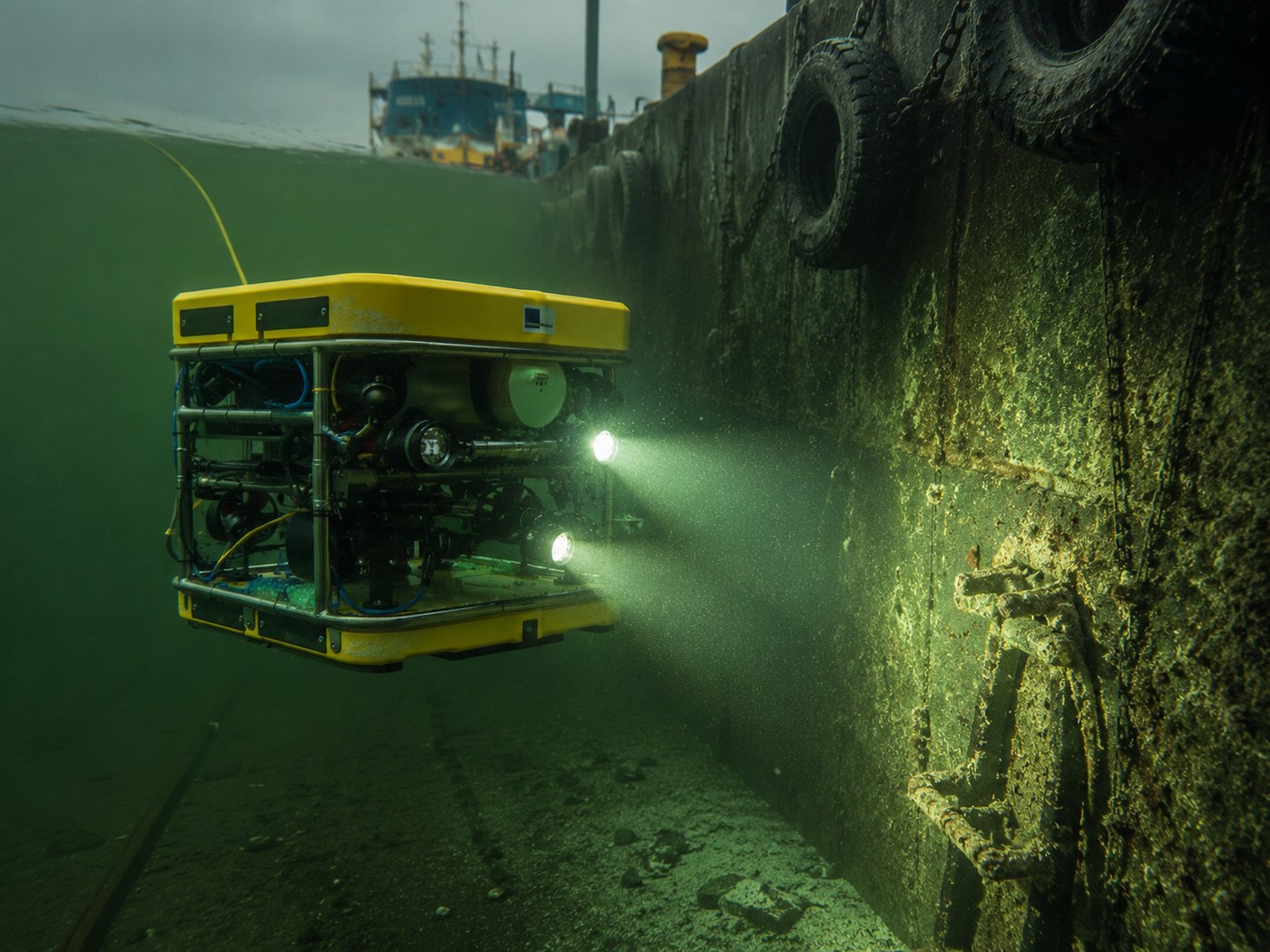
Acoustic sonar and millimetre-resolution photogrammetry fused into a single georeferenced dataset, the two methods validating each other. The result: a measurable basis for wreck management — with UXO located on board.
— 02 / 05
Field experience
Ocean Discovery has contributed to major shipwreck discoveries and advanced documentation projects, from the Mars warship to the Swedish hazardous-wreck programme.
Diving company and trimix pioneers.
Documented with photogrammetry.
From the 4th to the 19th century.
Point density on M/S Estonia model.
Malmi — deepest oil remediation in Swedish waters.
— 03 / 05
Recent assignment
One of the world's most detailed photogrammetric wreck surveys. Ocean Discovery's 3D model became the documented basis for the Swedish Accident Investigation Authority's M/S Estonia final report (2025).
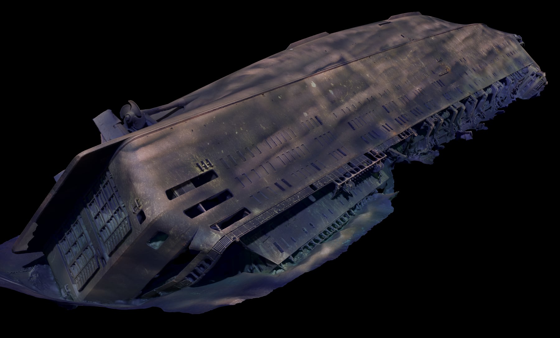
Field study · 2022
In summer 2022 we documented the wreck with ROV and photogrammetry — around 45,000 images covering about 95% of the hull, merged into a dimensionally accurate 3D model. On it, the accident authority identified the wreck's damage and concluded the hull is intact but for a single crack.
— 04 / 05
Ongoing HaV programme
Since 2018 Ocean Discovery has documented 19 hazardous wrecks along the Swedish coast — basis for the Swedish Agency for Marine and Water Management's programme together with remediation contractor JD-Contractor.
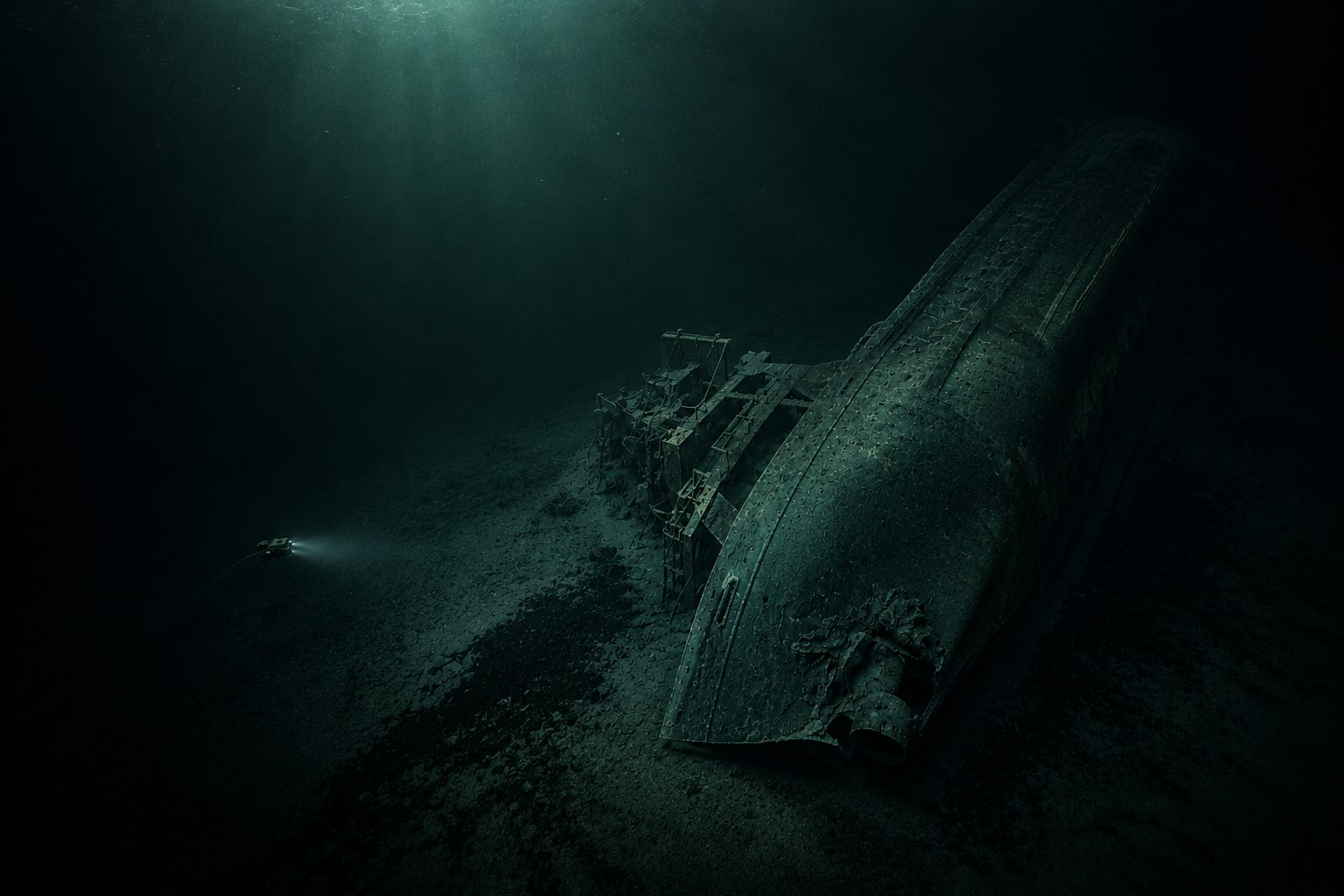
Ongoing programme
Corrosion continuously weakens the wrecks. Ocean Discovery delivers georeferenced 3D documentation, photogrammetry and sonar data used directly in remediation planning and offshore operations. Result so far: more than 558,000 litres of oil removed from Swedish waters.
— 05 / 05
Methodological origin
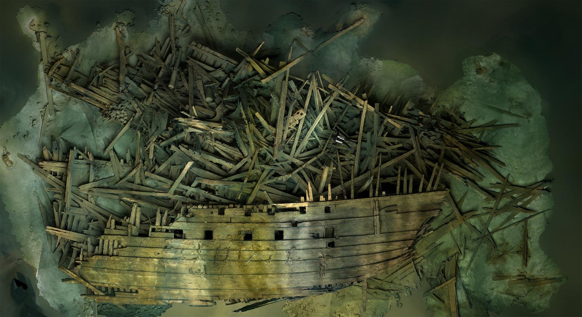
King Erik XIV's flagship sank in 1564 and was rediscovered in 2011 at 75 metres depth northeast of Öland. The Mars project became the genesis of Ocean Discovery's photogrammetry at extreme depth — the method the company uses today from Estonia to Franken.
Field study · 2011–ongoing
Twenty years of searching, an international dive team, 50,000+ photographs, and a 3D model on which the entire scientific reconstruction rests.
— Clients
Photogrammetry of M/S Estonia, 2022.
Hazardous wrecks — ongoing programme 2018–2025.
HMS Cassandra — wreck documentation, 2025.
Franken — wreck documentation in Gdynia.
Areas of expertise
Different missions, same foundation: a digital twin of the site — a measurable, geo-referenced 3D model ready for analysis, decisions and documentation.
Wreck survey and 3D documentation of historical, environmentally hazardous or recently sunk wrecks — measurable records for agencies, researchers and remediation contractors.
View the area →Quay inspection, bridge inspection and 3D documentation of ports, tunnels and underwater structures — without divers, with traceable precision for management and engineering.
View the area →Seabed survey and pre-construction investigations for offshore wind farms, subsea cables and pipelines. Measurable records directly usable in construction planning and environmental impact assessment.
View the area →Underwater search operations, accident investigation and wreck identification. We search, locate and identify lost objects, unidentified wreck anomalies and unclear accident sequences — from historical shipwrecks to modern inquiries.
View the area →Process
Four steps, same rhythm since 1995. No black box — you see exactly what the team does and why.
01 · Define
We align on location, water conditions, risk, access, documentation needs, and decision criteria.
02 · Capture
ROV, sonar, photography, sampling, and measurement workflows are selected for the mission.
03 · Process
Raw capture becomes a digital twin — models, imagery, maps, measurements, and visualizations your team can use.
04 · Deliver
Final files are packaged for stakeholders, investigators, researchers, or public communication.
— Watch our work
From field to finished 3D model — see how a project goes from first frame to final delivery.
Next site question
Share the site, the challenge, and the output you need. Ocean Discovery AB is based in Västervik, Sweden.