Wreck Documentation
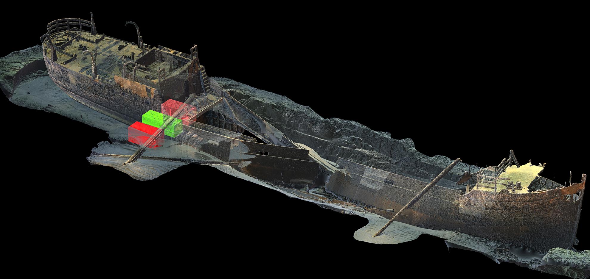
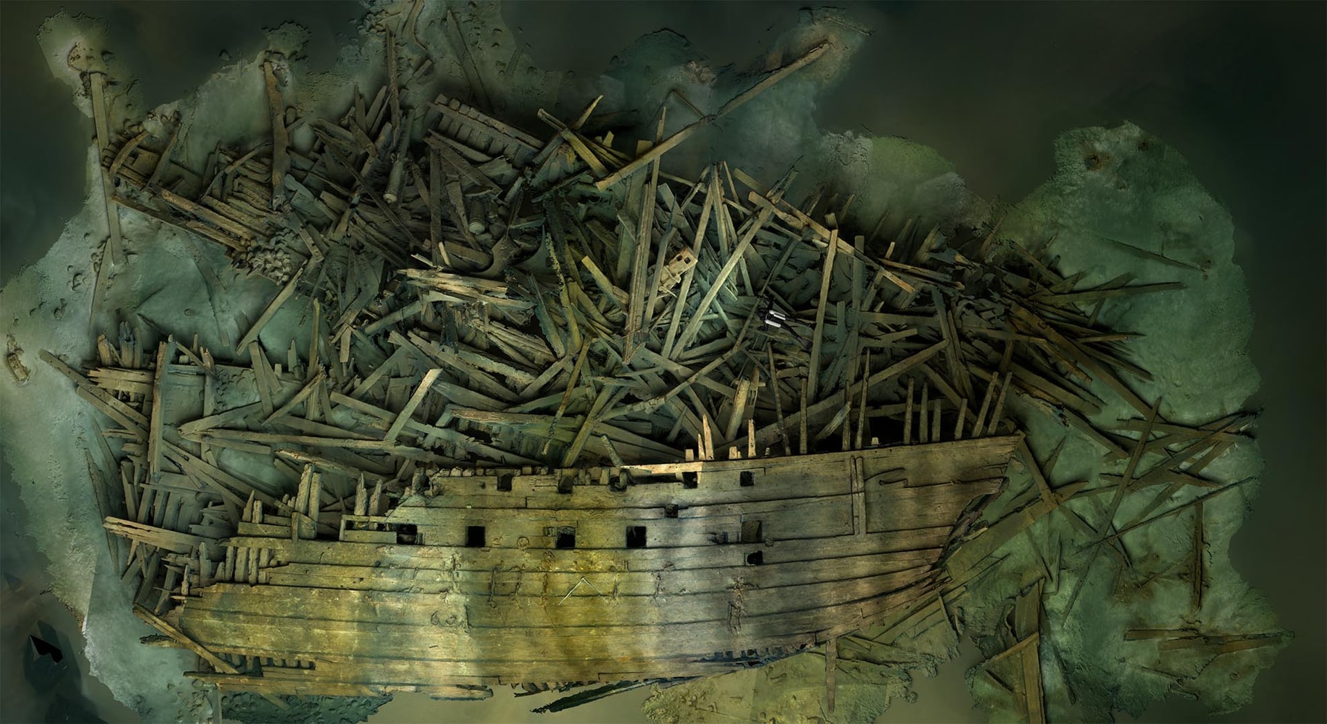
Wreck survey and 3D documentation of historical, environmentally hazardous or recently sunk wrecks — measurable records for agencies, researchers and remediation contractors.
View the area →Areas of expertise
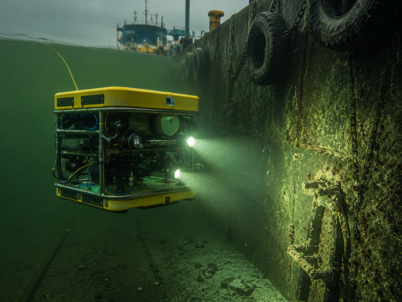
Ocean Discovery works across four areas of expertise — each with its own demands on method, precision and delivery. Whether the mission involves wreck documentation, quay and harbour inspection, seabed mapping for offshore and energy, or search operations and accident investigations, every delivery is built on the same foundation: a measurable, geo-referenced 3D model of the site. Choose an area below for methods, services and completed work.
Wreck survey and 3D documentation of historical, environmentally hazardous or recently sunk wrecks — measurable records for agencies, researchers and remediation contractors.
View the area →Quay inspection, bridge inspection and 3D documentation of ports, tunnels and underwater structures — without divers, with traceable precision for management and engineering.
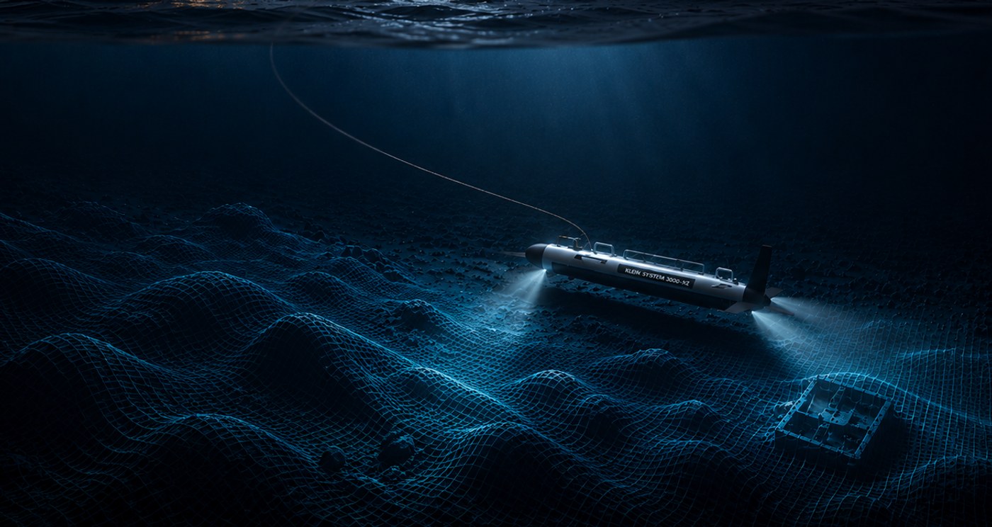
View the area →Seabed survey and pre-construction investigations for offshore wind farms, subsea cables and pipelines. Measurable records directly usable in construction planning and environmental impact assessment.
View the area →Underwater search operations, accident investigation and wreck identification. We search, locate and identify lost objects, unidentified wreck anomalies and unclear accident sequences — from historical shipwrecks to modern inquiries.
View the area →