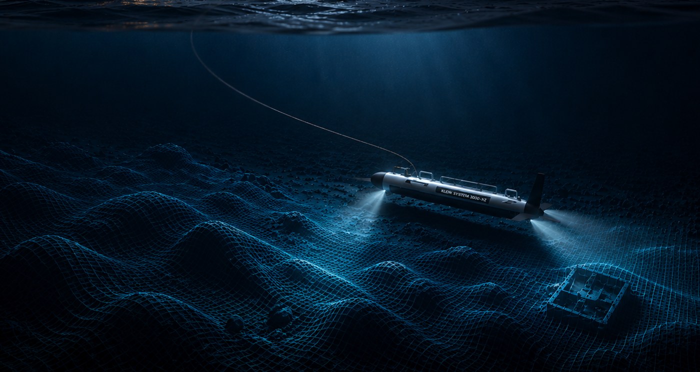
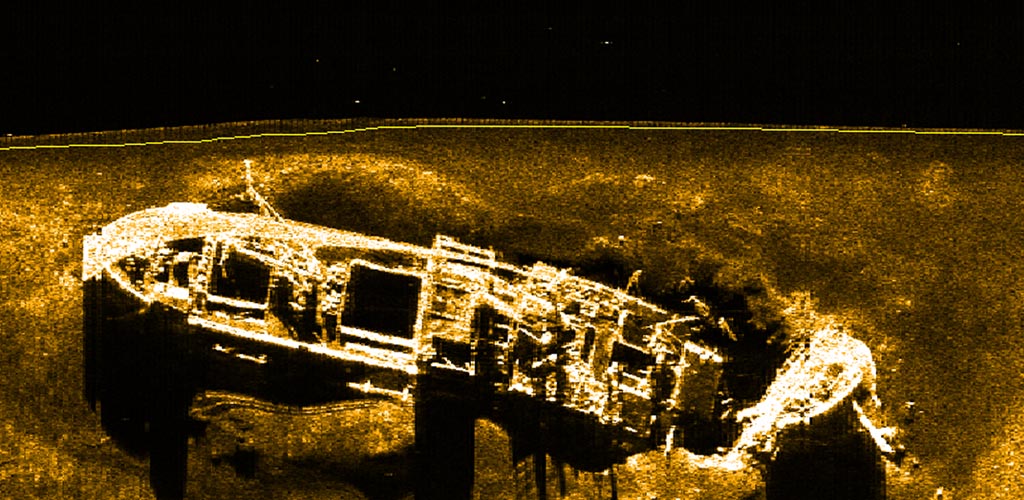
Seabed mapping and wreck identification with side scan sonar. It is the fastest way to get a clear picture of what lies on the seabed — wrecks, pipelines, obstacles, or sediment. Ocean Discovery uses sonar to locate and delimit targets efficiently, as the basis for ROV inspection, dredging, cable and pipeline routing, and offshore wind farm planning.
Efficient sonar survey of large areas
The sonar fish is towed along the bottom and produces a detailed acoustic image of the entire survey line — in a fraction of the time it takes with divers or ROV. The method covers large areas quickly and works in all visibility conditions.
Multibeam side scan for channels and ports
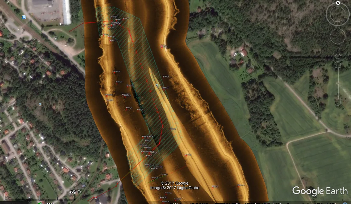
High-resolution multibeam sonar maintains consistent data quality even at higher speeds — enabling efficient mapping of channels, ports, and work areas. The result is clear deliverables with precise object positions, ready for decision-making and follow-up operations.
Channel inspectionPipeline and channel survey
Deliverables for GIS, reports, and follow-up work
Data is delivered as geo-referenced sonar plots, mosaics, and KML/GIS files — ready to open directly in ArcGIS, QGIS, or similar tools. Reports include an object register with positions, interpretation notes, and recommendations for follow-up work.