Every assignment rests on the same principle: data you can measure, share, and base decisions on.
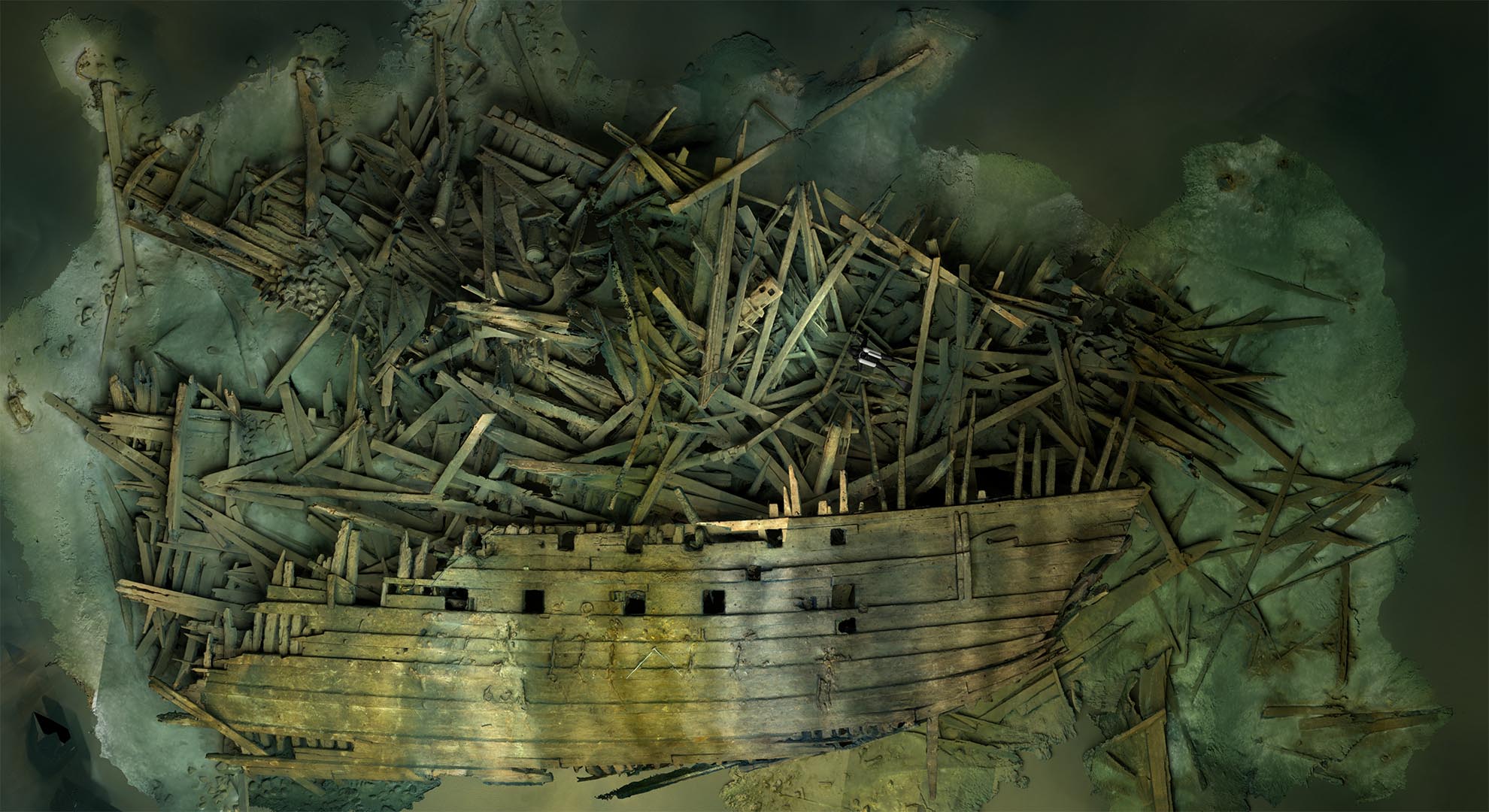
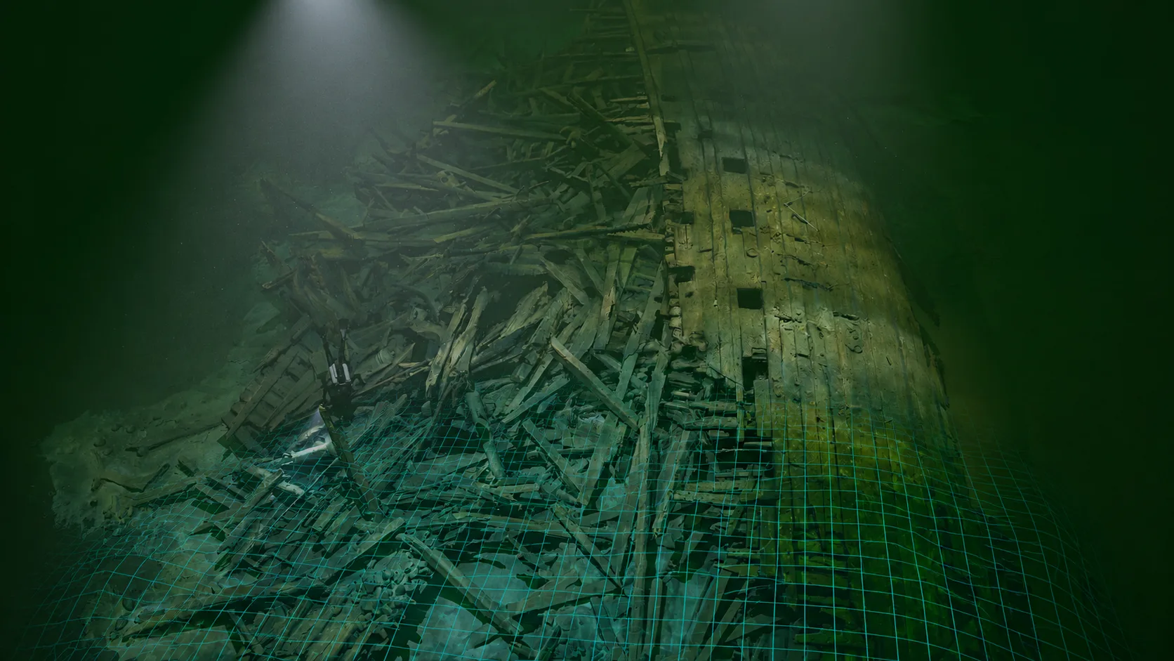
- Geo-referenced photogrammetry — measurements tied to SWEREF99 TM or to the coordinate system the client specifies, directly compatible with EIVA and other navigation systems.
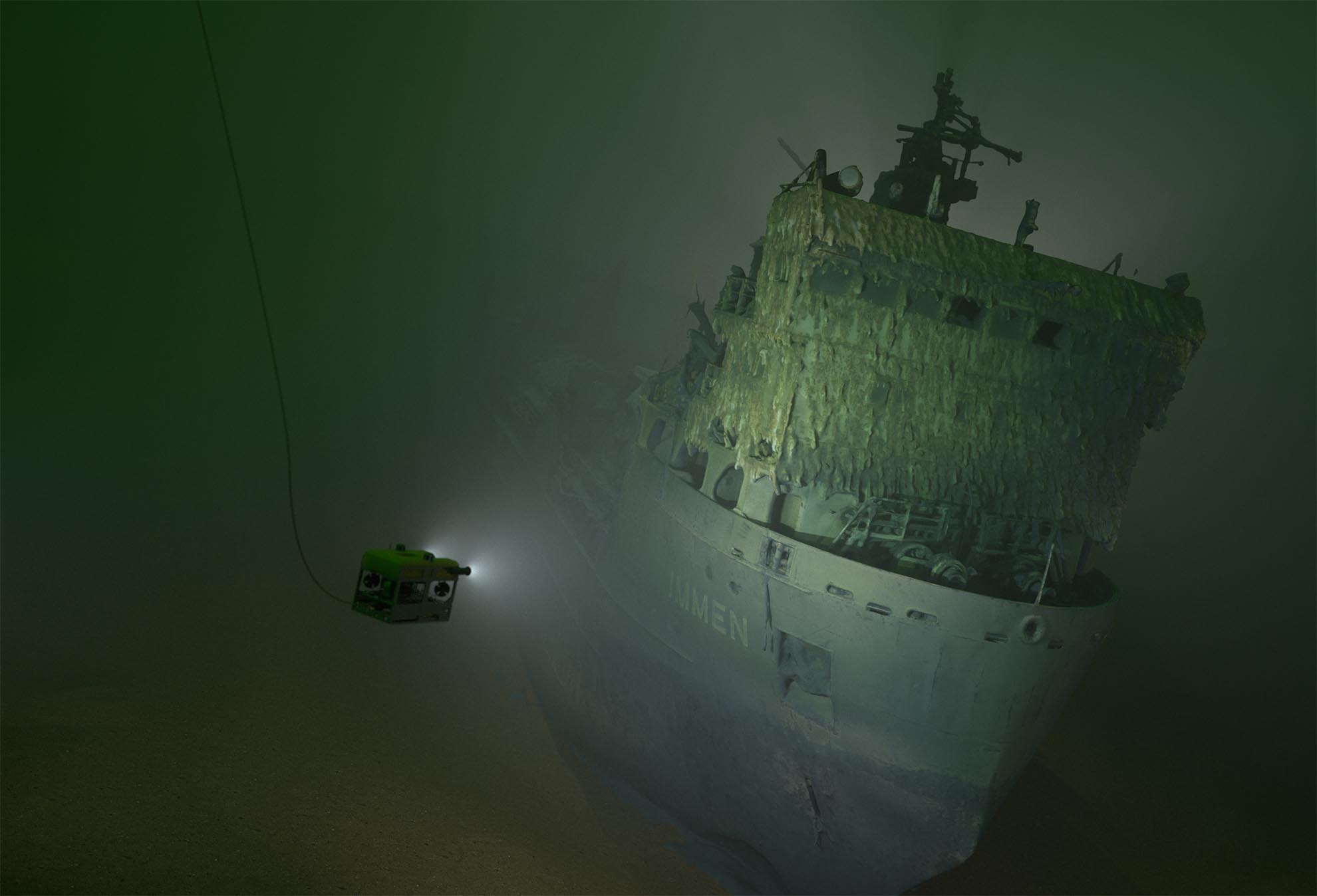
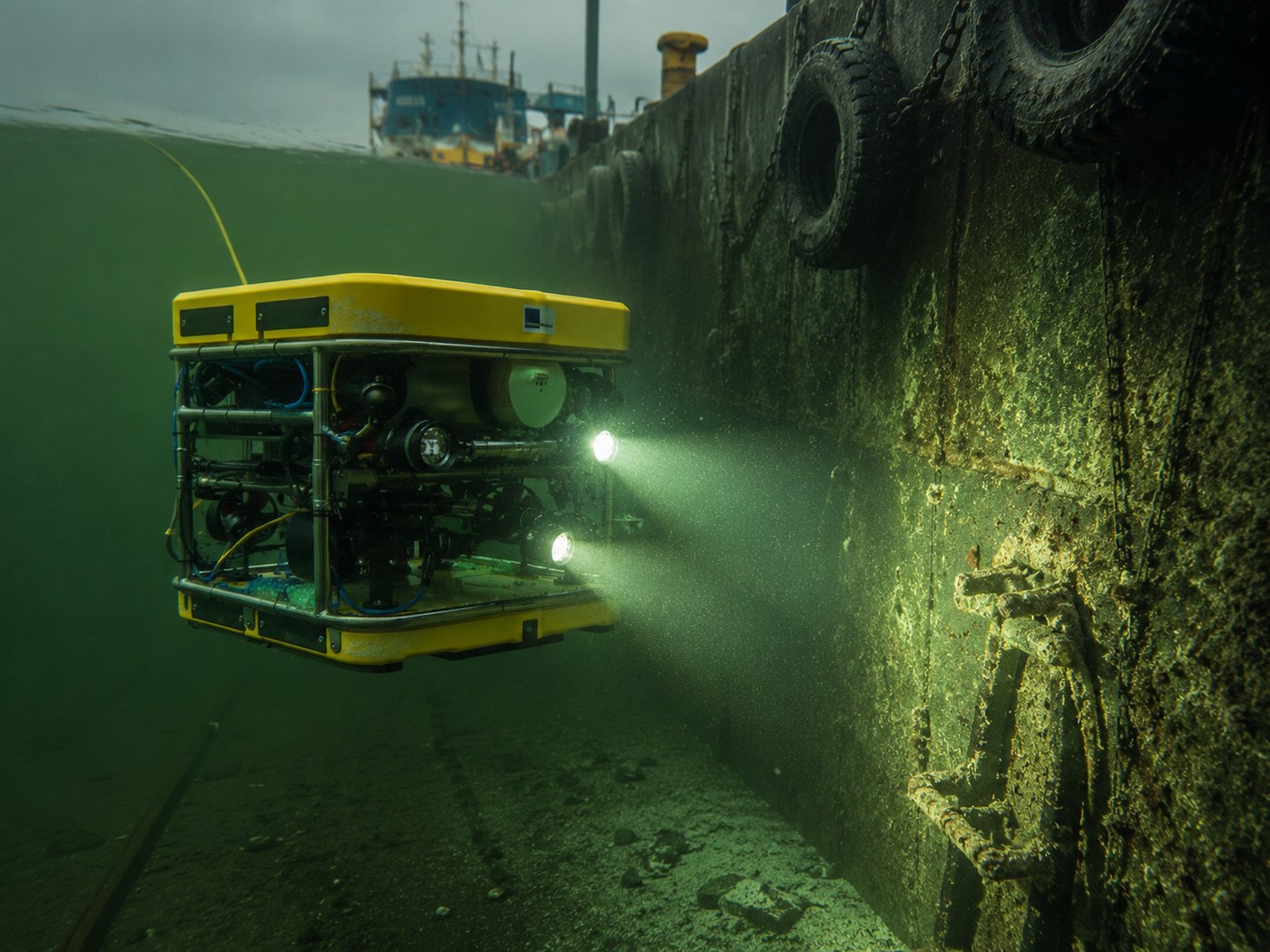
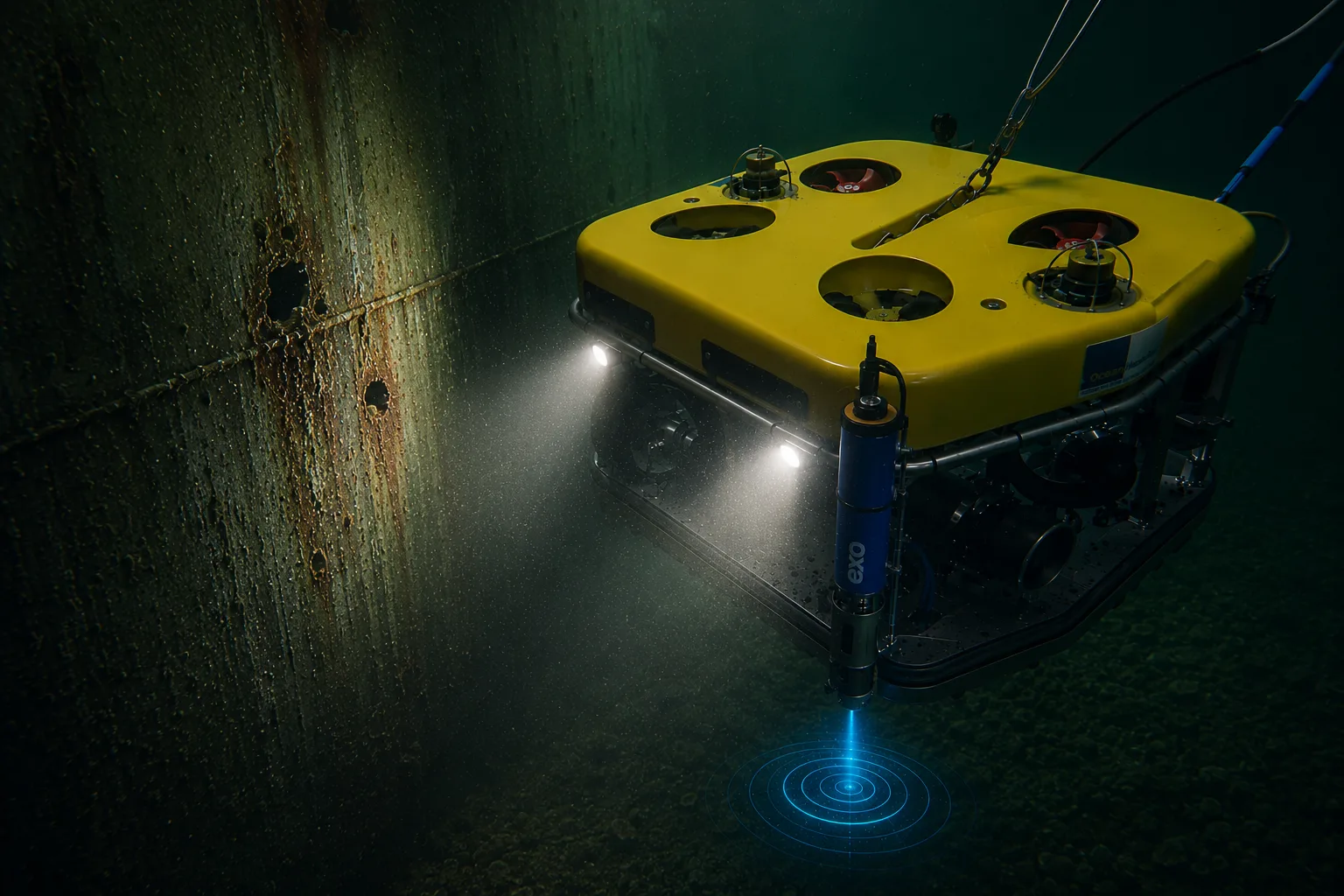
- ROV-based capture — remotely operated systems reach depths and conditions divers cannot work in safely.
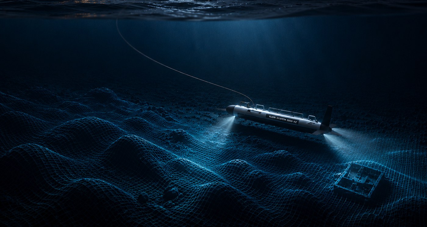
- Multi-method capture — photogrammetry, side scan sonar, multibeam, ultrasonic hull thickness and water parameters within a single mission structure.
- Standardised outputs — LAS, E57, OBJ, FBX, glTF, STL depending on the recipient's system.
The end result is a digital record that scientists, agencies, and remediation contractors can work with — without having to interpret raw material themselves.