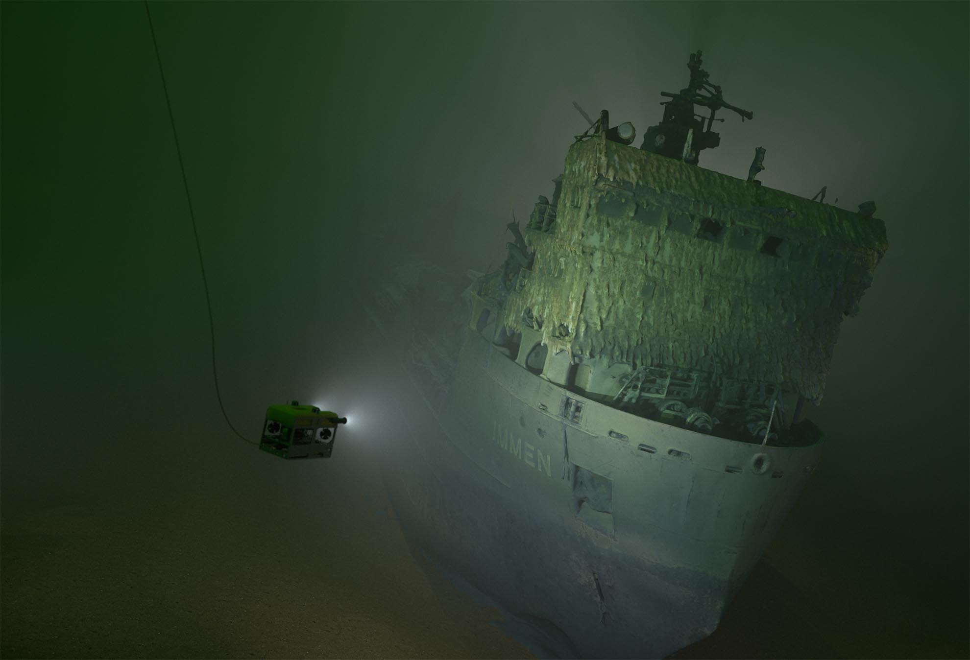
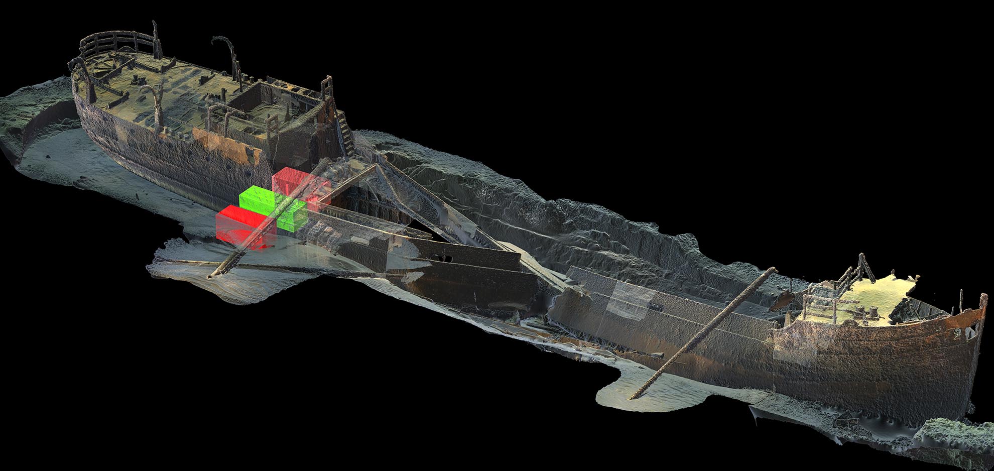
We deliver underwater documentation with photogrammetry and high-resolution 3D scanning. Results are geo-referenced, measurable 3D models — point clouds, orthophotos, elevation models — a digital twin of the object, ready for analysis, engineering, and visualization. Directly usable by engineers, archaeologists, and remediation contractors.
How underwater photogrammetry works
Thousands of overlapping images are processed automatically into a geo-referenced 3D model with high geometric accuracy. The result is a complete digital record — measurable from any angle and ready for technical analysis — instead of blurry video footage that requires interpretation.
Photogrammetric wreck-site documentationWreck model from photogrammetryDetail from underwater inspectionPhotogrammetric survey3D model side viewPhotogrammetric model
ROV-based data collection
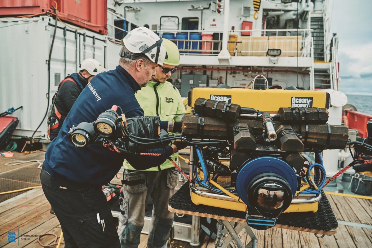
No divers needed. Our ROV is equipped with high-resolution cameras, powerful lighting, and precise positioning — making documentation safer and more cost-efficient, regardless of depth, visibility, or environment. Data is collected systematically and linked directly to position.
ROV with camera and lightingROV and side scan sonar aboard Ocean Discovery's survey vessel OttoROV control room
Orthophotos, elevation models, and GIS deliverables
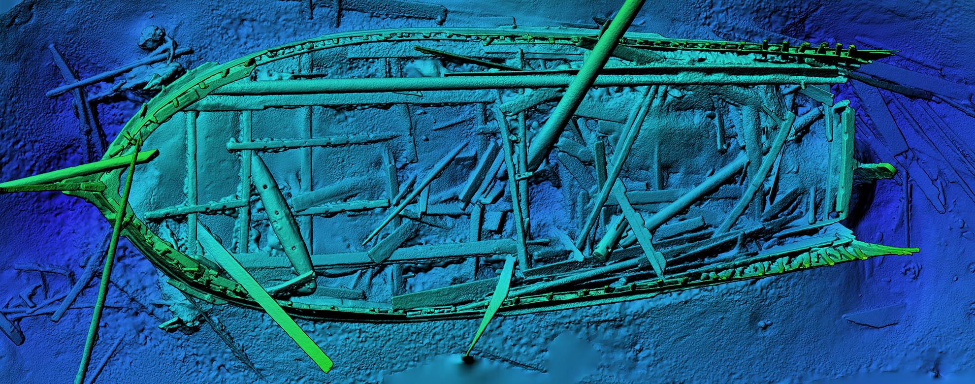
We deliver orthophotos, elevation models (DEM), and geo-referenced point clouds — formats that open directly in AutoCAD, ArcGIS, QGIS, or any 3D application. Results are analysis-ready and can be used immediately in decision-making and engineering workflows.
Orthographic GIS mosaicPipeline elevation model
Wrecks, ports, pipelines, and infrastructure
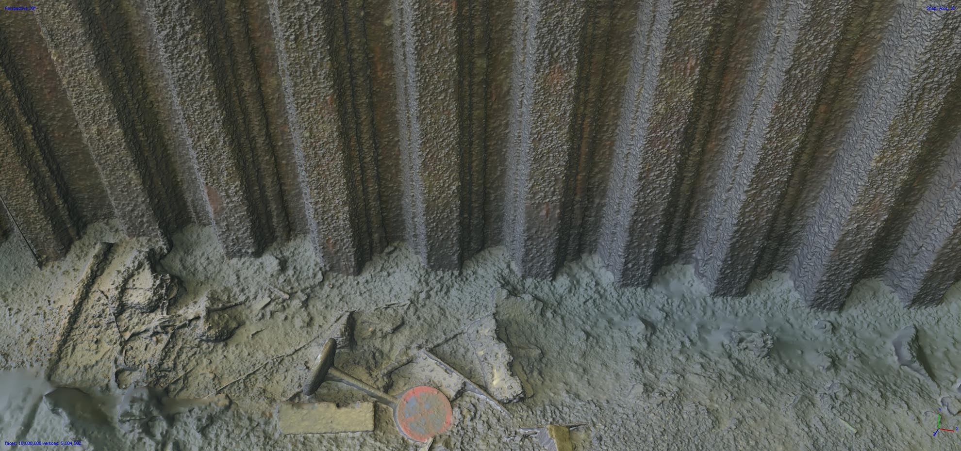
The method works equally well for an environmentally hazardous wreck as for a bridge foundation, a subsea pipeline, or a harbour quay. We deliver technical data for inspection and analysis — and where needed, high-quality 3D visualizations for museums, media, and film production.
Subsea pipeline and free spanROV inspection of harbour and sheet piling