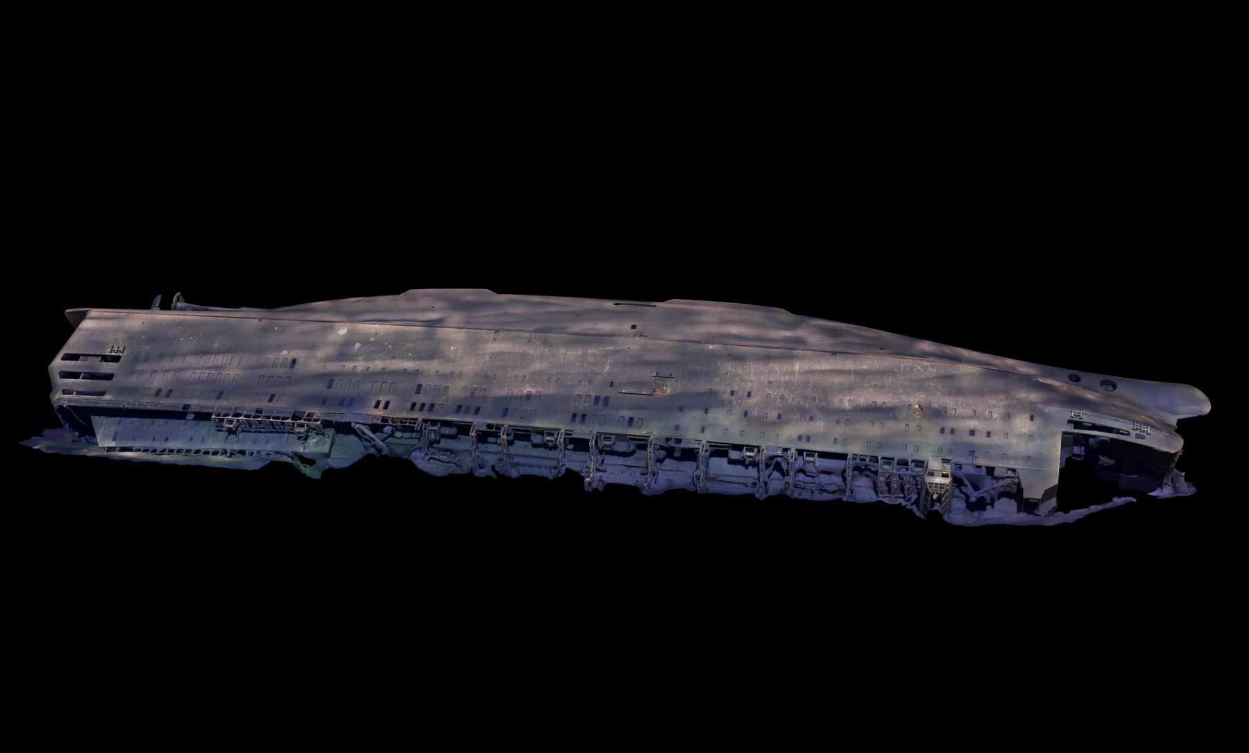
In June 2022, a photogrammetric documentation of M/S Estonia was carried out. Ocean Discovery performed the photogrammetry assignment, resulting in approximately 45,000 photographs and digital 3D material for the Swedish Accident Investigation Authority's preliminary assessment.
The mission was carried out under demanding conditions using ROV operations, positioned image capture, and photogrammetric processing. The image material was compiled into a 3D model that makes it possible to examine the wreck's exterior, structure, and technical characteristics without disturbing the site. The model supports analysis, visualization, and communication in one of Sweden's most significant maritime investigations.
Photogrammetry for accident investigation
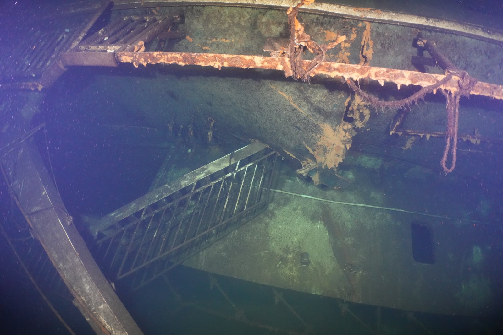
Photogrammetry uses large numbers of overlapping images to create a measurable 3D model. For the Estonia documentation, approximately 45,000 geo-referenced 8K photographs were captured — covering every millimetre of the wreck's exterior with detail that can be measured directly in the model. The dataset revealed several new findings about hull damage consistent with the vessel striking the seabed.
Crack, port side, deck 7Hull openingDeck winchStructural damage
Final report 2025
The basis for the investigation's conclusions
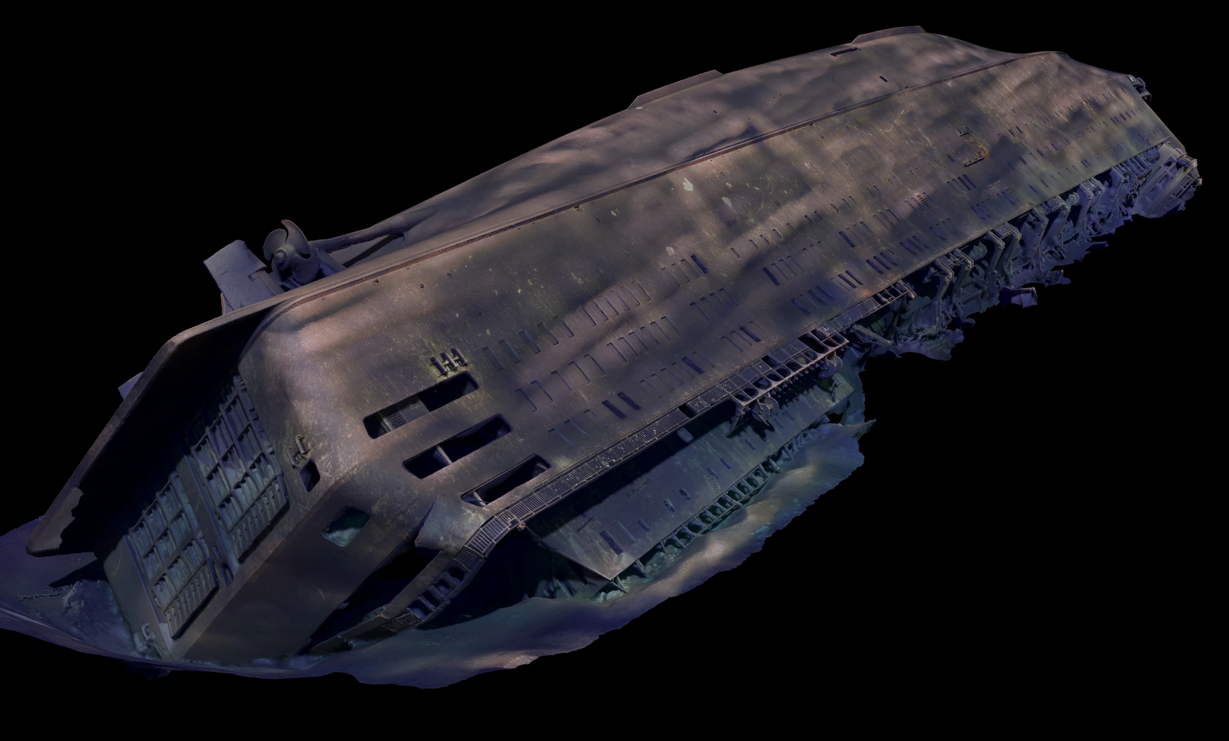
When the Swedish Accident Investigation Authority published the M/S Estonia final report in December 2025, the entire chapter on the wreck's condition rested on Ocean Discovery's photogrammetric model. By comparing the model against the vessel's theoretical model, the newly discovered damage could be identified and measured directly: the structural hogging showing that the wreck rests on a ridge of bedrock at midships, the collapsed navigation bridge, the cracks and protrusive deformations at the stern and port side, and the roughly 25‑metre starboard‑side damage that follows the outcropping bedrock. The model also revealed a buckled flat bottom and a minor oil leak.
Because the entire underwater hull was documented, the commission could establish that the hull is intact — except for a single crack — and that the starboard damage occurred through contact with the seabed, not through collision or explosion.
Collapsed deck structureCrackBent-out side sectionProtrusive deformations
Damage identified directly in Ocean Discovery's photogrammetric model — the same view as in the final report's chapter on the wreck's condition.
In the media
The truth about Estonia
Ocean Discovery's forensic 3D documentation provided measurable, independent evidence in one of Sweden's most contested accident investigations — helping to counter the conspiracy theories that have surrounded the disaster for decades. Our founder Ingemar Lundgren appears in SVT's Vetenskapens värld: Sanningen om Estonia ("The Truth about Estonia").
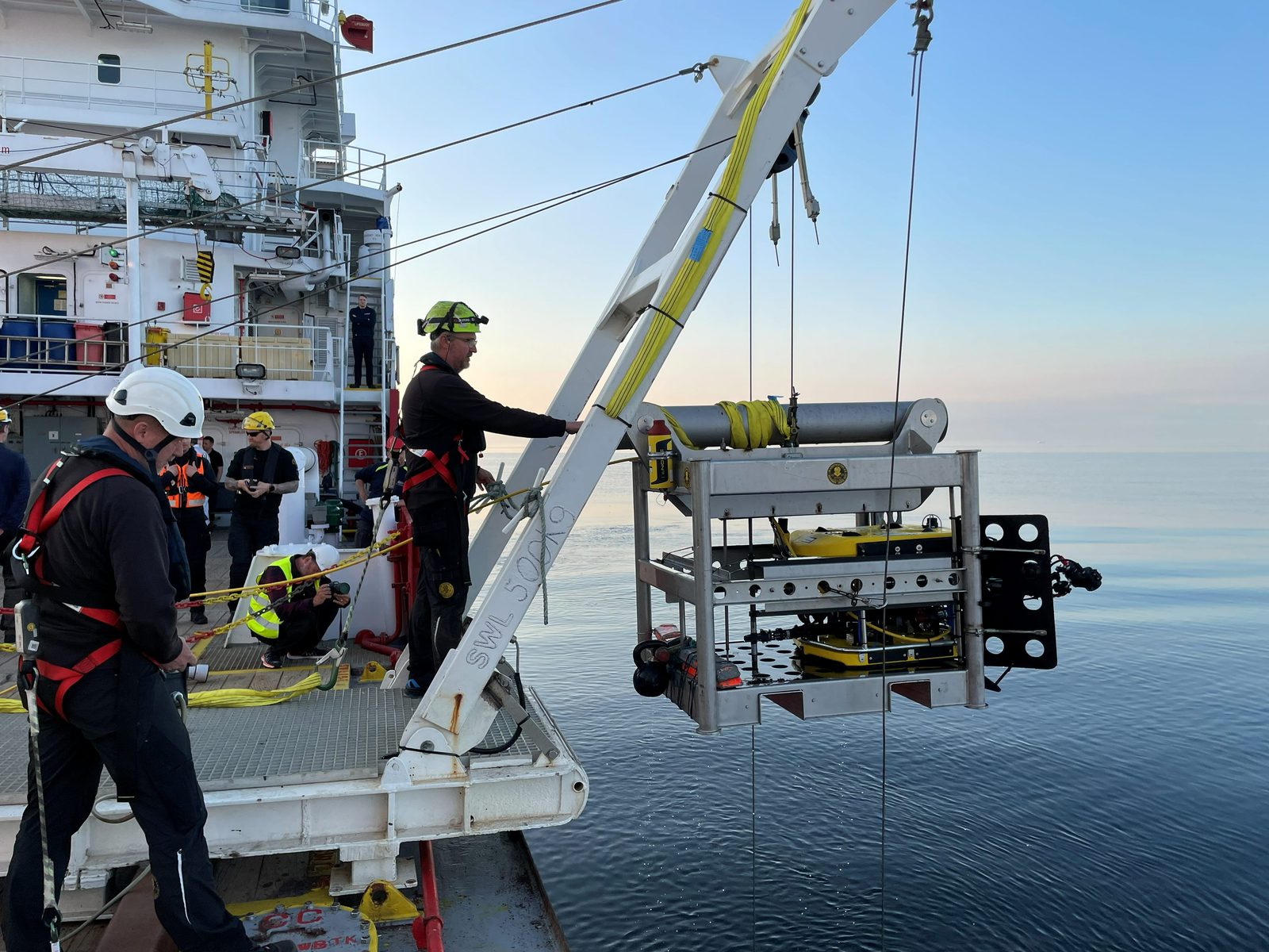
Data capture required stable ROV operation, a control room with multiple sensor and camera feeds, and careful planning of passes across the wreck. This workflow made it possible to collect visual material systematically despite limited visibility and difficult site conditions.
ROV control roomROV before documentation run
Digital model and delivery
The digital model was created to provide as accurate an overview as possible of the ship's exterior and technical characteristics. The result could be used for visualization, review, and as input for a physical model and public presentations.
Starboard side in the 3D modelStern detail view
Offshore field logistics
The operation was carried out with vessel-based ROV equipment, a deck team, and a control room working in parallel. The images show parts of the practical mobilization: ROV on deck, support systems, launch operations, and work directly connected to the survey site.
ROV and support systemsROV launchService and preparation

 Collapsed deck structureCrackBent-out side sectionProtrusive deformations