
Area of expertise
Wreck Documentation
Wreck survey and measurable 3D documentation of shipwrecks — historical, environmentally hazardous or recently sunk. Our work underpins research, wreck remediation, insurance claims and cultural heritage management.
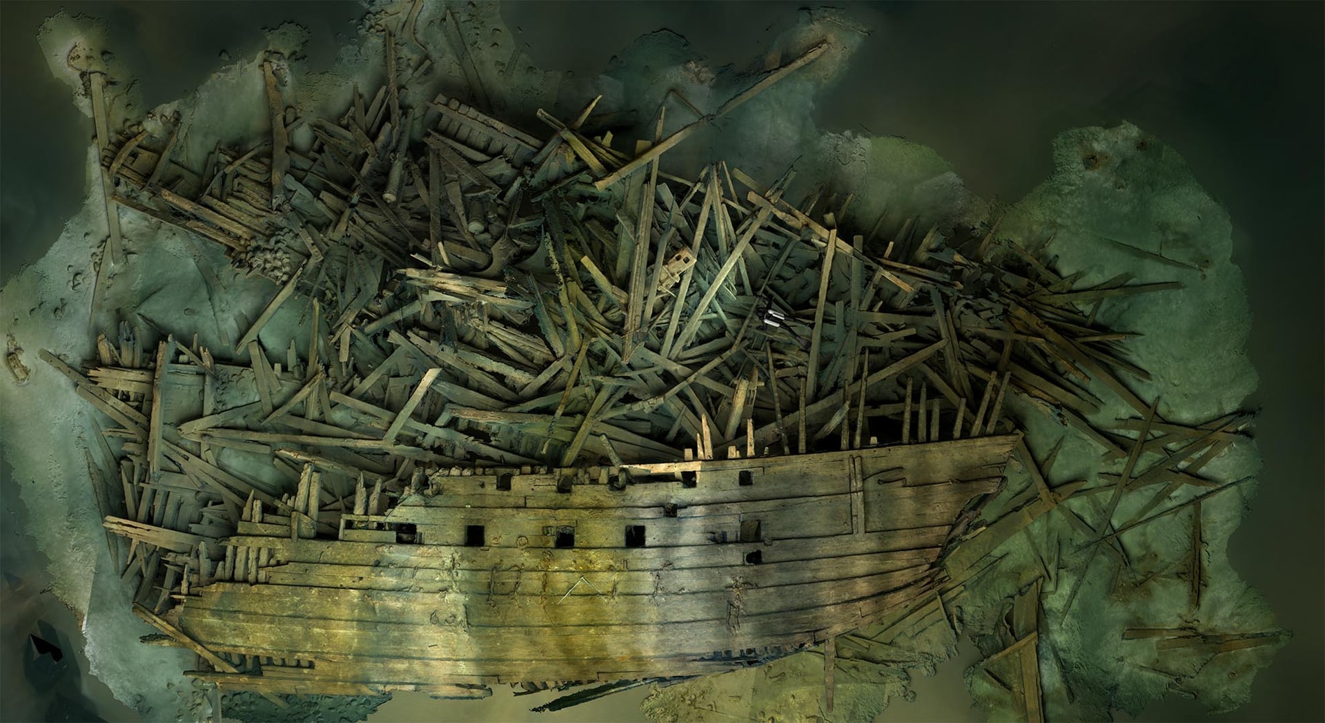
Since 1995, Ocean Discovery has documented wrecks from the 16th century (Mars Makalös) to modern times (M/S Estonia) — for the Swedish Agency for Marine and Water Management, the Swedish Accident Investigation Authority, international research groups and defence authorities. Outputs are used as decision support, scientific material and public-facing content.
We combine photogrammetry, ROV inspection, side scan sonar, multibeam and hull-thickness measurement within a single mission structure — all measurements geo-referenced to SWEREF99 TM or whatever coordinate system the client specifies.
— Services in this area
Tools we use for wreck documentation.
-
3D Scanning / Photogrammetry
Underwater photogrammetry and high-resolution 3D scanning for wrecks, bridge foundations, ports, tunnels, sea pipelines and underwater infrastructure.
Read more → -
Marine Archaeological Documentation
Marine archaeology consultant for 3D documentation of shipwrecks, maritime remains, and sensitive cultural heritage sites.
Read more → -
ROV Inspections
ROV inspection of harbours, bridge foundations, pipelines, and wrecks. Remote-operated vehicle with video, ultra-high-resolution stills, underwater positioning, and real-time sonar.
Read more → -
Side Scan Sonar
Side scan sonar surveys of sea pipelines, harbours, wrecks, channels, and seabed objects.
Read more → -
Water Samples & Thickness Measurement
Hull thickness measurement with ultrasound, water sampling, and environmental analysis — ROV-supported inspections without drydocking.
Read more → -
3D Visualizations
3D visualization for museums, animations, digital restoration, 3D printing, app content, and VR-ready experiences.
Read more →
— From the field
Wrecks we've documented.
-
Marine archaeology field study · 2011–ongoing
Mars Makalös
Marine archaeological 3D documentation of Erik XIV's flagship Mars, which exploded in the Battle of Öland in 1564.
Read the case → -
Recent assignment
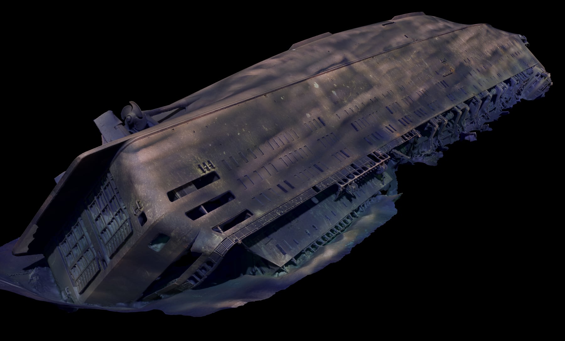
M/S Estonia 2022
Photogrammetric documentation of M/S Estonia for the Swedish Accident Investigation Authority's preliminary assessment.
Read the case → -
Swedish Agency commission · 2018–ongoing
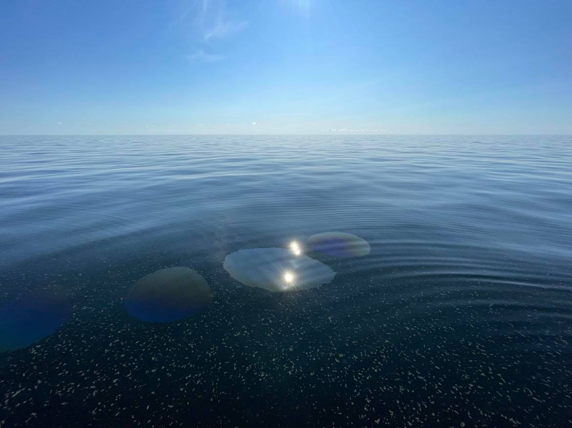
Hazardous Wrecks
19 wrecks documented for the Swedish Agency for Marine and Water Management since 2018. Basis for remediation operations that have so far recovered over 558,000 litres of oil.
Read the case →
— Next assignment
Have a wreck we should look at?
Describe the location, depth, what you already know about the wreck and what you need to find out — we'll come back with a proposal.
Discuss the assignment