
Area of expertise
Ports & Infrastructure
Underwater quay inspection and bridge foundation survey — without divers, with traceable precision. We map and document ports, quays, bridges, tunnels and underwater structures for management, engineering and maintenance.
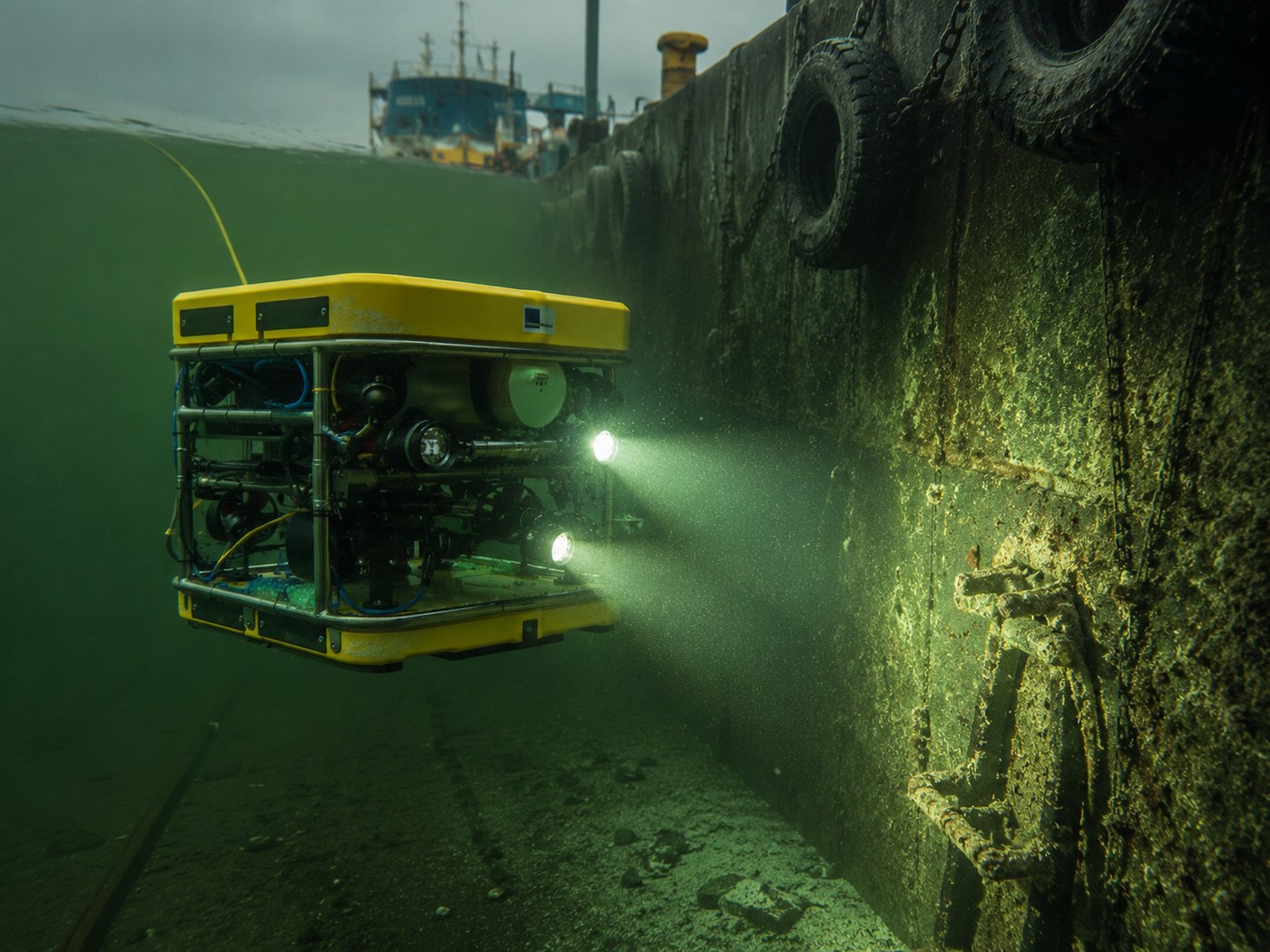
Harbours, marinas, bridges and tunnels suffer corrosion, sedimentation and structural deterioration. Inspections require access to sections where diving is inefficient, hazardous or costly. With ROV and photogrammetry we reach every surface, document measurably and deliver material engineers can work with directly.
Outputs feed management decisions, engineering planning and maintenance scheduling. Point clouds and 3D models are geo-referenced to SWEREF99 TM or the project's coordinate system, compatible with BIM and CAD workflows.
— Services in this area
Tools we use for ports and infrastructure work.
-
3D Scanning / Photogrammetry
Underwater photogrammetry and high-resolution 3D scanning for wrecks, bridge foundations, ports, tunnels, sea pipelines and underwater infrastructure.
Read more → -
ROV Inspections
ROV inspection of harbours, bridge foundations, pipelines, and wrecks. Remote-operated vehicle with video, ultra-high-resolution stills, underwater positioning, and real-time sonar.
Read more → -
Side Scan Sonar
Side scan sonar surveys of sea pipelines, harbours, wrecks, channels, and seabed objects.
Read more → -
Water Samples & Thickness Measurement
Hull thickness measurement with ultrasound, water sampling, and environmental analysis — ROV-supported inspections without drydocking.
Read more →
— Next assignment
Harbour, quay, bridge or tunnel to inspect?
Describe the structure, water depth and access conditions — we'll come back with a proposal.
Discuss the assignment